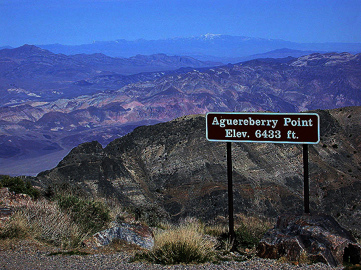
| A view eastward from the elevation sign at Aguereberry Point in the Panamint Mountains. The snowcapped peak along skyline is Mt. Charleston (11,900 feet high) in Nevada, roughly 80 miles distant; the great salt pan floor of Death Valley National Park lies directly below the prominent ridge in the foreground. |