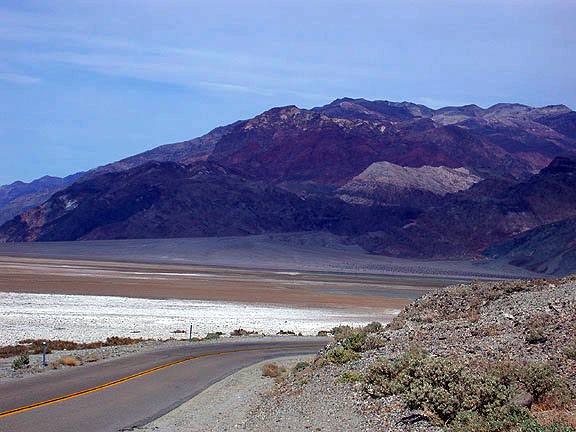
| A view northward from Mormon Point to the western flanks of the Black Mountains and a portion of the Death Valley salt pan south of Badwater; a sign post here reads that the elevation is "sea level," but that is incorrect. Elevation at Mormon Point is roughly 240 feet. Nobody knows for certain how Mormon Point got its name, but it first appeared on a map in 1891. |